 DONATE


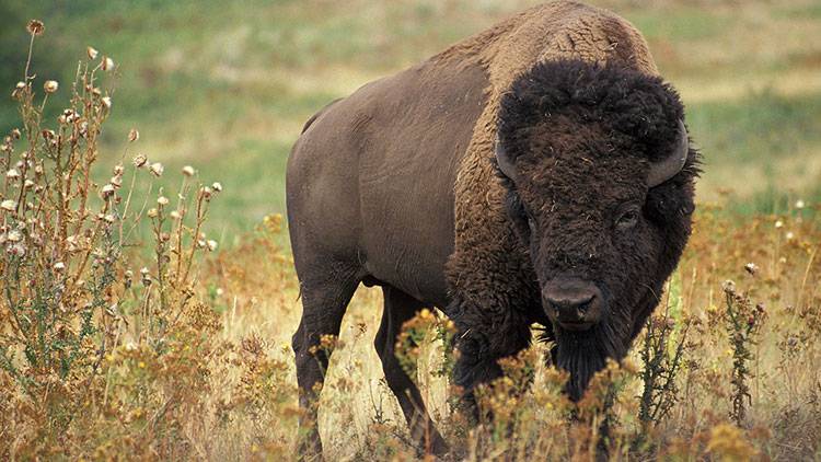
BEDFORD, Ind. (AP) — The Hoosier National Forest has developed an interactive story map featuring the historic Buffalo Trace's route across southern Indiana.
The forest says the sites include historic Native American villages, forts, and trading posts that have disappeared from the landscape and river crossings where the buffalo forded rivers. However, some sites such as the Falls of the Ohio State Park are open to the public.
Ranger Chris Zimmer says the map can be used by people sitting at home wanting to learn more about the trace that was created by American bison or by others wanting to see the route's historical sites.
The interactive story map below may also be accessed from the front page of the Hoosier National Forest website at www.fs.usda.gov/hoosier .


 View More Programs

 Support WFYI. We can't do it without you.