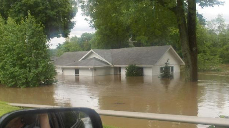
But FEMA itself has said its flood maps are outdated. They don’t take the increased rainfall we’ve been having into account. Some parts of the state haven’t been mapped by FEMA at all.
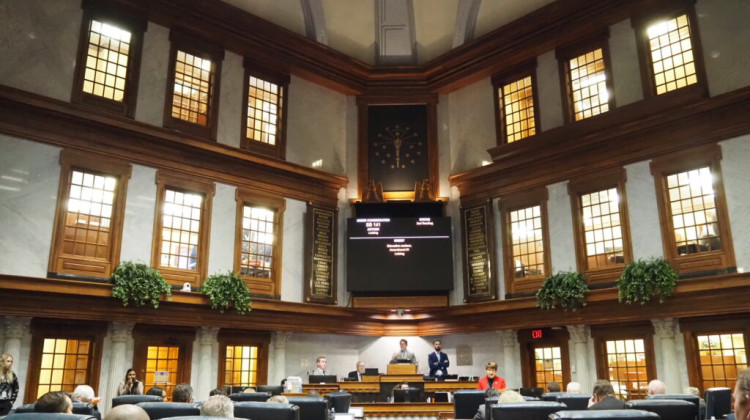
User:Me/Wikimedia CommonsCounties wouldn’t be allowed to use the most up-to-date flood maps for two years if a bill that passed the Indiana House on Monday becomes law.
The amended bill, Senate Bill 242, wouldn’t allow local floodplain administrators to use the Indiana Department of Natural Resources’ maps to grant construction permits for two years unless landowners request them.
After that, floodplain administrators could only use them if the DNR held a public hearing in that community and allowed landowners to appeal the maps if they disagree with them. The DNR has said there is already a process to appeal errors in the maps.
Proponents say the state Department of Natural Resources’ maps are more restrictive than the federal ones — leading to confusion and lower property values.
But FEMA itself has said its flood maps are outdated. They don’t take the increased rainfall we’ve been having into account. Some parts of the state haven’t been mapped by FEMA at all.
READ MORE: Counties could use outdated flood maps when issuing construction permits under bill
Join the conversation and sign up for the Indiana Two-Way. Text "Indiana" to 73224. Your comments and questions in response to our weekly text help us find the answers you need on statewide issues throughout the legislative session. And follow along with our bill tracker.
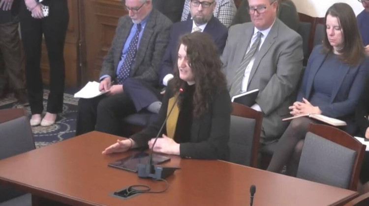
Rep. Carey Hamilton (D-Indianapolis) called the bill irresponsible.
“With this bill the legislature is saying let’s pretend these maps, created to protect our communities from the extreme costs and destruction of flooding — let’s pretend they don’t exist," she said.
Hamilton urged the legislature not to pass the bill until a state drainage task force meant to look at these issues could complete its work. But Rep. David Abbott (R-Rome City) said it couldn't wait.
“You’ve got property owners that are suffering. We need to address these property owners, these new homes that want to be built. I think that needs to be addressed now," he said.
Groups representing Indiana surveyors, floodplain managers, and environmentalists have said relying on these outdated maps would put homeowners living in those flood zones at risk.
Language in the bill prohibits the use of all lidar-based maps, not just the ones from the Indiana DNR. Lidar is a type of remote sensing method used to determine topography and other characteristics on the Earth’s surface.
The bill now goes back to the Senate to consider changes made to it.
Rebecca is our energy and environment reporter. Contact her at rthiele@iu.edu or follow her on Twitter at @beckythiele.
9(MDAyMzk1MzA4MDE2MjY3OTY1MjM5ZDJjYQ000))
 DONATE


 Support WFYI. We can't do it without you.